
文檔:FukushimaMapCurrent.png

預覽嗰尺寸:800 × 563 像素。 其他分辨率:320 × 225 像素 | 640 × 450 像素 | 1,024 × 720 像素 | 1,281 × 901 像素。
原始文件 (1,281 × 901 像素,檔案大細:50 KB ,MIME類型:image/png)
摘要
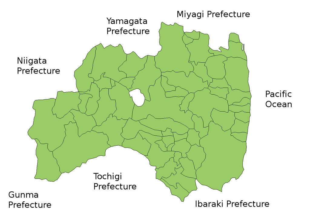
Map of Fukushima Prefecture, Japan.
Thanks to Aoki Shigenobu and [1]. Colors from Image:TokyoMapCurrent.png by User:Fg2.
授權

|
作为本作品的著作权持有者,Shigenobu AOKI允许任何人以任何目的使用该作品,包括无限制的再分发、商业性使用和修改内容。
|
檔案歷史
按到日期/時間去眵吖許時間有過嗰檔案。
| 日期/時間 | 縮圖 | 尺寸 | 用戶 | 說明 | |
|---|---|---|---|---|---|
| 眼前 | 2011年9月28日 (禮拜三) 15:58 | | 1,281 × 901(50 KB) | Haaninjo | The city of Motomiya was created, and Iino merged into Fukushima. |
| 2006年7月19日 (禮拜三) 05:31 |  | 1,281 × 901(50 KB) | Akanemoto~commonswiki | Reverted to earlier revision | |
| 2006年7月18日 (禮拜二) 12:23 |  | 1,050 × 800(20 KB) | Akanemoto~commonswiki | remove texts | |
| 2006年7月18日 (禮拜二) 10:43 |  | 1,281 × 901(50 KB) | Akanemoto~commonswiki | Map of Fukushima Prefecture, Japan. Thanks to Aoki Shigenobu and [http://aoki2.si.gunma-u.ac.jp/map/map.html]. Colors from Image:TokyoMapCurrent.png by User:Fg2. Category:Maps of Fukushima prefecture Category:Maps in English |
檔案使用
底下嗰1隻頁面連結到箇隻檔案:
全域文件用途
以下其他 wiki 使用了這個檔案:
- ast.wikipedia.org 嗰使用狀況
- az.wikipedia.org 嗰使用狀況
- ba.wikipedia.org 嗰使用狀況
- ckb.wikipedia.org 嗰使用狀況
- cs.wikipedia.org 嗰使用狀況
- es.wikipedia.org 嗰使用狀況
- eu.wikipedia.org 嗰使用狀況
- fa.wikipedia.org 嗰使用狀況
- lt.wikipedia.org 嗰使用狀況
- ms.wikipedia.org 嗰使用狀況
- no.wikipedia.org 嗰使用狀況
- pam.wikipedia.org 嗰使用狀況
- pt.wikipedia.org 嗰使用狀況
- ru.wikipedia.org 嗰使用狀況
- su.wikipedia.org 嗰使用狀況
- vi.wikipedia.org 嗰使用狀況